Communities · Huntington Beach
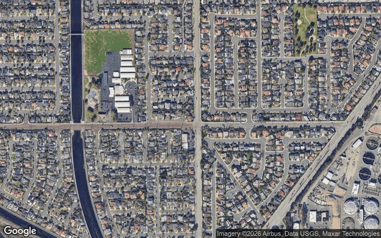
The southeast side of the city around Atlanta, Hamilton, and Magnolia, including the Huntington Landmark 55+ community. Close to the state beach, Pacific City, and the south end of the pier.
34 communities in South Huntington Beach

Huntington Beach
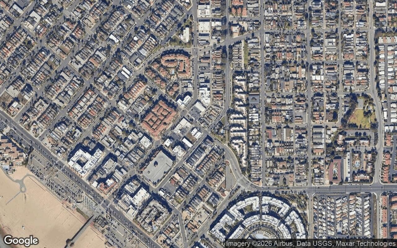
The 92646 side of the city, family tracts like the Moffett area and Newland, close to the beach, Newport, and Costa Mesa, and one of the more attainable ways into coastal Huntington Beach.
Read the full brief →
Huntington Beach
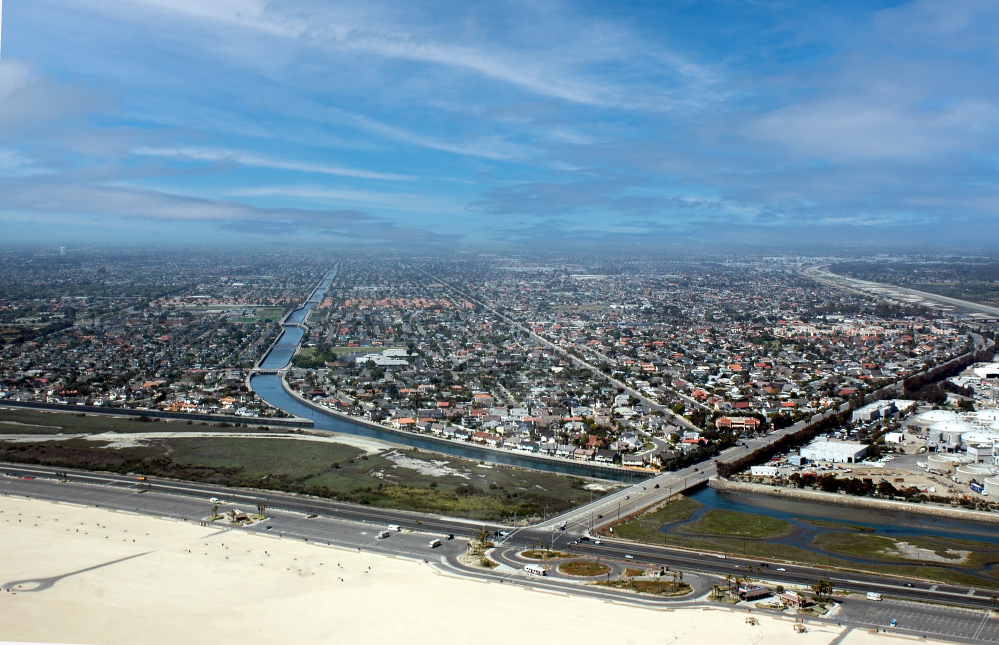
A residential pocket in southeast Huntington Beach near the Santa Ana River and the Newport Beach border.
Read the full brief →
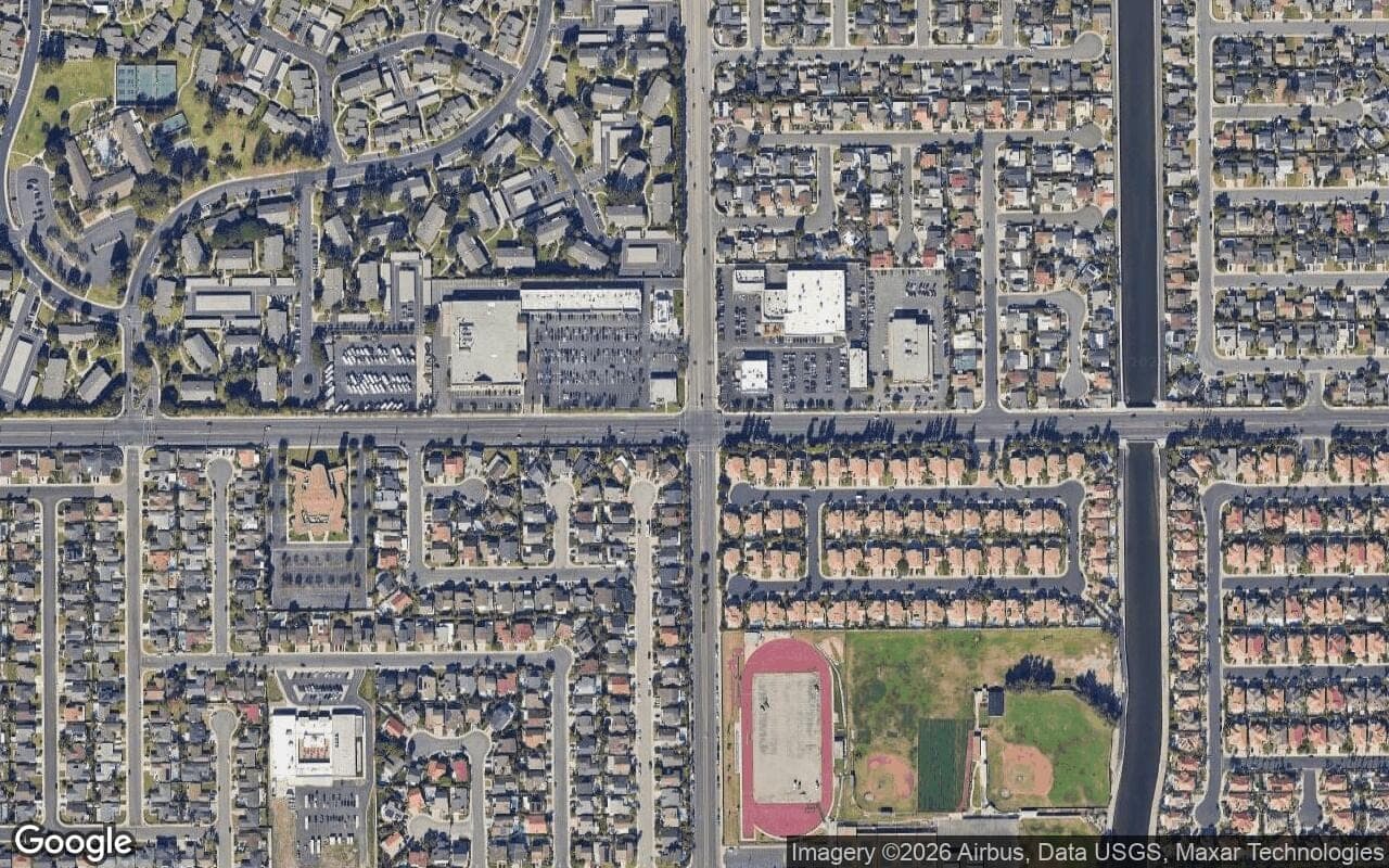
Huntington Beach
A gated 55+ community in southeast Huntington Beach near Atlanta and Magnolia, with low-maintenance condos and attached homes, a 24-hour guard gate, a big clubhouse, and the beach about a mile away.
Read the full brief →
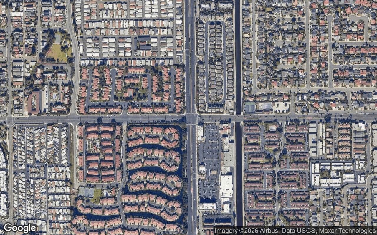
Huntington Beach
An established mid-1960s tract of detached single-family homes in inland south Huntington Beach, with no mandatory HOA, a wide span of floor plans across two named sub-tracts, and an optional namesake cabana club about five minutes from the sand.
Read the full brief →
Huntington Beach
An inland mid-1960s single-family tract in southeast Huntington Beach, on quiet cul-de-sac streets in the 92646 ZIP, roughly a mile or two from the sand and split into two adjacent pockets, Fashion Shores I and Fashion Shores II.
Read the full brief →
Brief in progress
A gated 2001-2004 William Lyon detached-condo tract in south Huntington Beach near Atlanta Avenue and Beach Boulevard.
See current status →
Brief in progress
An interior residential tract off Newland between Adams and Indianapolis in south Huntington Beach.
See current status →
Brief in progress
A gated enclave of about 30 homes built 1997-1998 near Beach Boulevard south of Adams in south Huntington Beach.
See current status →
Brief in progress
A single-family tract built 1970-1972 southwest of Brookhurst Street in south Huntington Beach.
See current status →
Brief in progress
A gated single-family community built in 1994 on Graystone Lane near Brookhurst Street in south Huntington Beach.
See current status →
Brief in progress
A gated single-family tract built in 1987 by J.M. Peters next to Edison Park near Magnolia and Hamilton.
See current status →
Brief in progress
A tract of early-1960s single-story detached homes in the south part of Huntington Beach.
See current status →
Brief in progress
A residential tract of single-family homes in the south part of Huntington Beach, ZIP 92646.
See current status →
Brief in progress
A tract of larger late-1970s single-family homes in the southernmost part of Huntington Beach near the Newport Beach line.
See current status →
Brief in progress
A late-1960s to early-1970s single-family tract with pitched-roof homes in south Huntington Beach southwest of Brookhurst Street.
See current status →
Brief in progress
A 114-home attached single-family PUD built 1982 to 1984 near Atlanta Avenue and Delaware Street, within walking distance of downtown.
See current status →
Brief in progress
A 101-unit gated townhome community built in 1972 near Edison Park in southern Huntington Beach (92646).
See current status →
Brief in progress
A tract of about 400 split-level homes built in the mid-1960s between Brookhurst and Adams in south Huntington Beach.
See current status →
Brief in progress
A 1960s-era tract southwest of Brookhurst near the Santa Ana River and Newport Beach city line (92646).
See current status →
Brief in progress
A single-family tract built in the late 1960s near Edison High School in south Huntington Beach.
See current status →
Brief in progress
A gated townhome and courtyard-home community built 2010-2014 in south Huntington Beach near the coast.
See current status →
Brief in progress
A tract of mostly two-story homes built from the early 1970s in south Huntington Beach.
See current status →
Brief in progress
A two-story-home tract built in the early 1970s next to Edison Park in south Huntington Beach.
See current status →
Brief in progress
A gated condo and townhome community on Cape Coral Lane off Beach Blvd in the 92646 area of south Huntington Beach.
See current status →
Brief in progress
A late-1960s single-level ranch-style home tract near Edison High School in the 92646 area of south Huntington Beach.
See current status →
Brief in progress
A gated condo community at 21372 Brookhurst Street in south Huntington Beach near the Newport Beach line.
See current status →
Brief in progress
A condo tract off Beach Boulevard in south Huntington Beach (92646), distinct from the adjacent Seawind II.
See current status →
Brief in progress
A 1960s single-family tract near the Santa Ana River in south Huntington Beach (92646).
See current status →
Brief in progress
A 1960s ranch-style single-family tract on the southern edge of Huntington Beach near the 405 and beach (92646).
See current status →
Brief in progress
A 1960s single-family tract near the Talbert channel and Adams Avenue in south Huntington Beach (92646).
See current status →
Brief in progress
A single-family neighborhood in south Huntington Beach near the Santa Ana River, southeast of Brookhurst Street, ZIP 92646.
See current status →
Brief in progress
A TRI Pointe single-family tract built around 2014 off Pioneer Drive near the Fountain Valley border in the 92646 area.
See current status →
Brief in progress
A home community along Lakeside Lane near the Seabridge community at Beach Boulevard and Adams Avenue in Huntington Beach.
See current status →
Brief in progress
A detached single-family neighborhood built in the late 1960s and early 1970s in the south Huntington Beach 92646 area.
See current status →Local read
We'll pull active and off-market Compass inventory for this area and give you the honest read on streets, price ranges, and timing before you tour a single home.